|

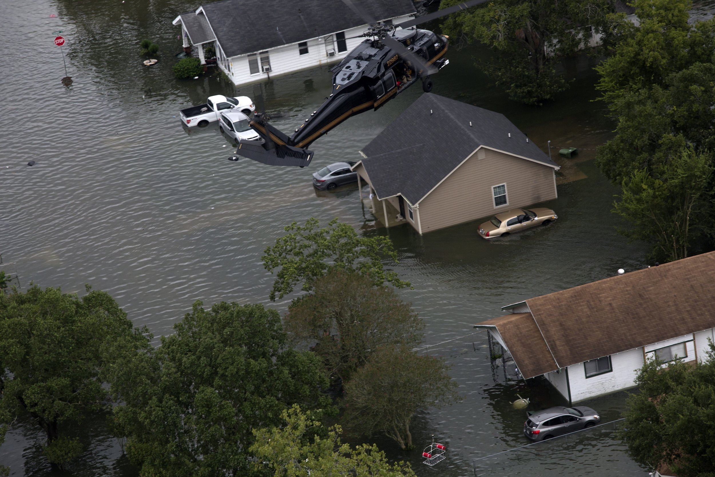
United States: Slow-moving tempest clusters brimming with soaking potential are edging along the Eastern Seaboard this Monday, poised to unleash heavy downpours stretching from North Carolina to New England. The looming atmospheric onslaught brings a perilous flash flood possibility to millions.
Rain accumulations could easily touch 2 to 4 inches, with intense, localized zones soaking up over 5 inches. Flood alerts now blanket over 44 million individuals across nine states, including the Washington, DC metro stretch.
Around 70 million residents fall within a Level 2 out of 4 flooding hazard zone. However, the core alarm, a Level 3 threat, directly implicates 20 million souls, especially those in the high-density zones of Washington, DC, Baltimore, and Philadelphia, according to CNN.
While meteorological clarity is still forming on where the most ferocious cells will erupt, intermittent showers began whispering across the region earlier in the day. By late afternoon and into evening, as heat swells, convective storms are expected to dominate skies across the Northeast. These will likely target the evening commute, unleashing torrential bouts as city traffic clogs and roadways flood.
Read More >>
You Might Also Like

|