|
June 2025
 The Big Fork River supports numerous fish species that are intolerant to pollution, including this young lake sturgeon that was captured in the Big Fork River near the confluence of the Sturgeon River.
Big Fork River Watershed report finds many waters in pristine condition
The MPCA has released a new draft report about the Big Fork River Watershed in north-central Minnesota that finds many lakes, streams, and wetlands in good condition. The Watershed Restoration and Protection Strategy (WRAPS) report updates data gathered in 2010-2011 that was reported in 2017 and provides an opportunity to identify trends.
This remote, forested watershed includes six exceptional stream reaches totaling more than 100 miles and eight exceptional lakes. The “exceptional” designation places a waterbody at the highest of four levels on the Tiered Aquatic Life Uses (TALU) scale. The watershed also includes a high number of coldwater lakes where fish species such as cisco, whitefish, and lake trout live. These coldwater lakes are deep and clear enough to still provide suitable coldwater fish habitat even after significant climate warming.
Restoration strategies have been identified to improve conditions in Island Lake, Shallow Pond, Jessie Lake, and Little Spring, which are not meeting water quality standards for aquatic recreation because of excess nutrients. Potential problems are identified in Round Lake, Dunbar Lake, and Bowstring Lake, which are located within Leech Lake Band of Ojibwe reservation boundaries and are subject to the band’s water quality standards. There are also seven streams and four lakes vulnerable to impairment.
A special priority is Island Lake, where tributary monitoring in 2022 provided a better understanding of phosphorus inputs. A special study is planned on Bowstring and Round lakes through an MPCA and Leech Lake Band partnership.
This report is on a 30-day public notice period that ends July 2. You can submit a comment on the MPCA website. All comments are considered while finalizing the report.
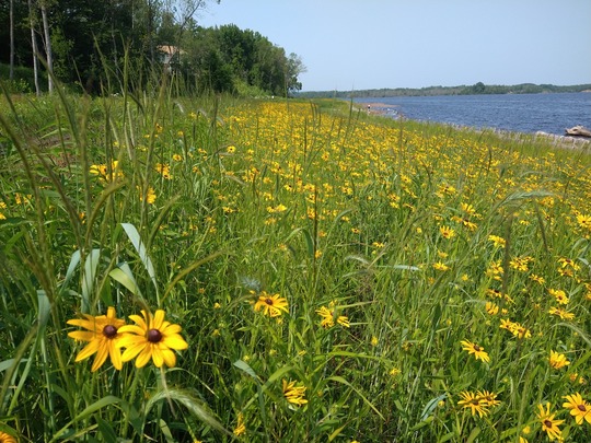 Native flowers bloom at the Spirit Lake restoration project in Duluth, part of the St. Louis River Area of Concern, in 2024.
Partners meet for update on the St. Louis River Area of Concern
MPCA colleagues were among 75 people who attended a federal partners meeting for the St. Louis River Area of Concern (SLRAOC) on May 15. Typically, Minnesota and Wisconsin host separate federal partner meetings each year. For the first time, the states co-hosted this as a joint state initiative to share a holistic overview of the entire program. The meeting brought together representatives of 18 city, state, federal, and Tribal agencies, and advocacy groups.
"I was once again reminded of how lucky we are to have so many talented and committed people from across so many organizations helping us achieve our successes," MPCA's Area of Concern Coordinator Barb Huberty said.
In 1992, the MPCA, Minnesota and Wisconsin Departments of Natural Resources, and the Fond du Lac Band of Lake Superior Chippewa developed the first remedial action plan to address legacy damages in the area. With 65 of 80 management actions now complete and four of nine beneficial use impairments removed, the SLRAOC partners hope to reach the delisting goal by 2030. Work has included water and fish sampling, implementing various remedies to address contaminated sediments, seeding wild rice, restoring habitat, and monitoring recovery in the estuary.
The SLRAOC is one of 43 such areas in the Great Lakes region, designated by the U.S. and Canadian governments in 1987, that show signs of significant environmental harm from local causes. The SLRAOC is the second-largest AOC in the U.S.
 Julia Dady displays her finds from Battle Creek, circa 1972. Provided photo.
Ahead-of-her-time Battle Creek researcher returns as water monitor
Julia Dady has fond memories of growing up along Battle Creek in Saint Paul. Her family moved to the Battle Creek area before she started sixth grade, and she remembers that the neighborhood was largely undeveloped, with nothing but cornfields and wide-open spaces.
The time she spent by the creek inspired her lifelong interest for the natural world and later led her to become a volunteer water monitor for that very same stretch of water.
 24-hour Nitrate Network to measure levels
The state’s new Nitrate Network was introduced at an online information session. By summer 2026, the state expects to have 35 continuous nitrate monitors located in rivers and streams that historically have had high nitrate contamination levels. The monitoring locations are available 24 hours a day, with data updated several times a day. On April 25, experts from the Minnesota Pollution Control Agency introduced the network; a recording of the information session is available online.
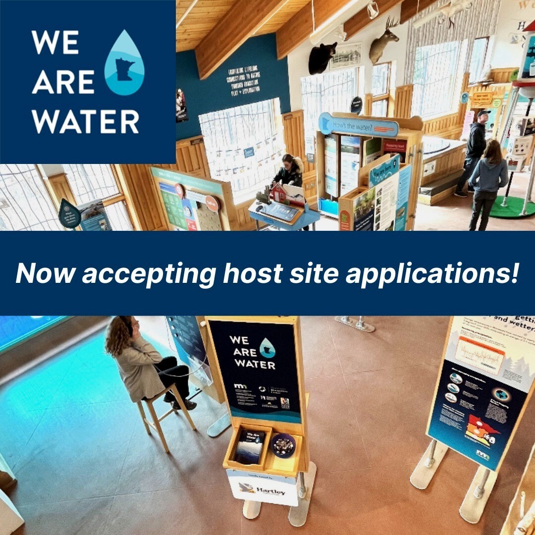 Apply to host traveling exhibit in 2026
Deadline: June 27, 2025
We Are Water MN is a traveling exhibit with interactive displays that share messages about water through personal narratives, historical materials, and scientific information. The program is looking for organizations to host the exhibit. More information is posted on the project webpage. Applications are due June 27, 2025, for a planning and hosting period that runs from October 2025 to December 2026.
In 2026, We Are Water MN will join Sacred Water, Shared Future. This initiative honors the Mississippi River and its recovery since 1926, when the first water quality survey of the river found a nearly dead ecosystem with only three live fish in 50 miles of river. To this end, we may give special consideration to applications from communities situated on the Mississippi River or its tributaries.
We are Water MN is led by the Minnesota Humanities Center in partnership with the Minnesota Pollution Control Agency; the Minnesota Historical Society; the Board of Water and Soil Resources; the Minnesota Departments of Agriculture, Health, and Natural Resources; and University of Minnesota Extension. The program is funded, in part, with money from the Clean Water, Land & Legacy Fund and by the National Endowment for the Humanities.
|